
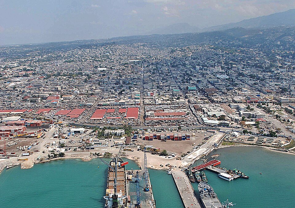
Port-au-Prince
HaitiPhoto: U.S. Navy photo by Mass Communication Specialist 2nd Class Meranda Keller · Public domain · Wikimedia Commons ↗
Port-au-Prince
Haiti
Port-au-Prince is the capital and most populous city of Haiti. The city's population was estimated at 1,200,000 in 2022 with the metropolitan area estimated at a population of 2,618,894. The metropolitan area is defined by the IHSI as including the communes of Port-au-Prince, Delmas, Cité Soleil, Tabarre, Carrefour, and Pétion-Ville.
Excerpt from Wikipedia, CC BY-SA 4.0 · Read the article →
- Country
- Haiti
- Population
- 1,998,000
- Latitude
- 18.54° N
- Longitude
- 72.34° O
Which way is Port-au-Prince from…
From Paris, Port-au-Prince lies at 271° to the west, 7,357 km as the crow flies.
| Paris | 271° west | 7,357 km |
|---|---|---|
| London | 268° west | 7,181 km |
| New York | 176° south | 2,470 km |
| Madrid | 271° west | 6,896 km |
| Rome | 281° west | 8,227 km |
| Montreal | 177° south | 3,000 km |
| Saint-Denis, Réunion | 277° west | 14,567 km |
Bearings as the crow flies (great circle), measured from north. From somewhere else, the bearing changes: that’s the whole game.
Oùcécap’s take
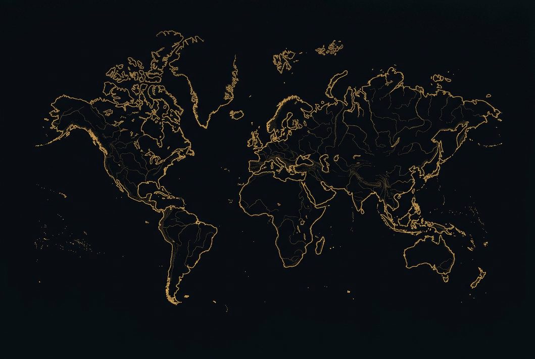
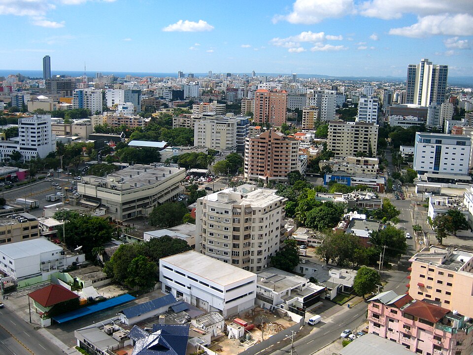
Port-au-Prince is due south of both Montreal and New York: 177° and 176°, 3,000 and 2,470 km away. From London, it is due west, at 268°, 7,181 km away, whereas a flat map would say 240°, south-west. On its island, Santo Domingo lies due east, 257 km away, and Port-au-Prince shares its latitude with Nouakchott.
271° from Paris
Find Port-au-Prince with your compass
Wherever you are, aim at it with your iPhone: Oùcécap tells you how many degrees off you were.

Scan with your iPhone camera
Which maps?

Find it with your compass
Free on iPhone. Gather your crew tonight and find out who has the best sense of direction.
Scan with your iPhone camera