
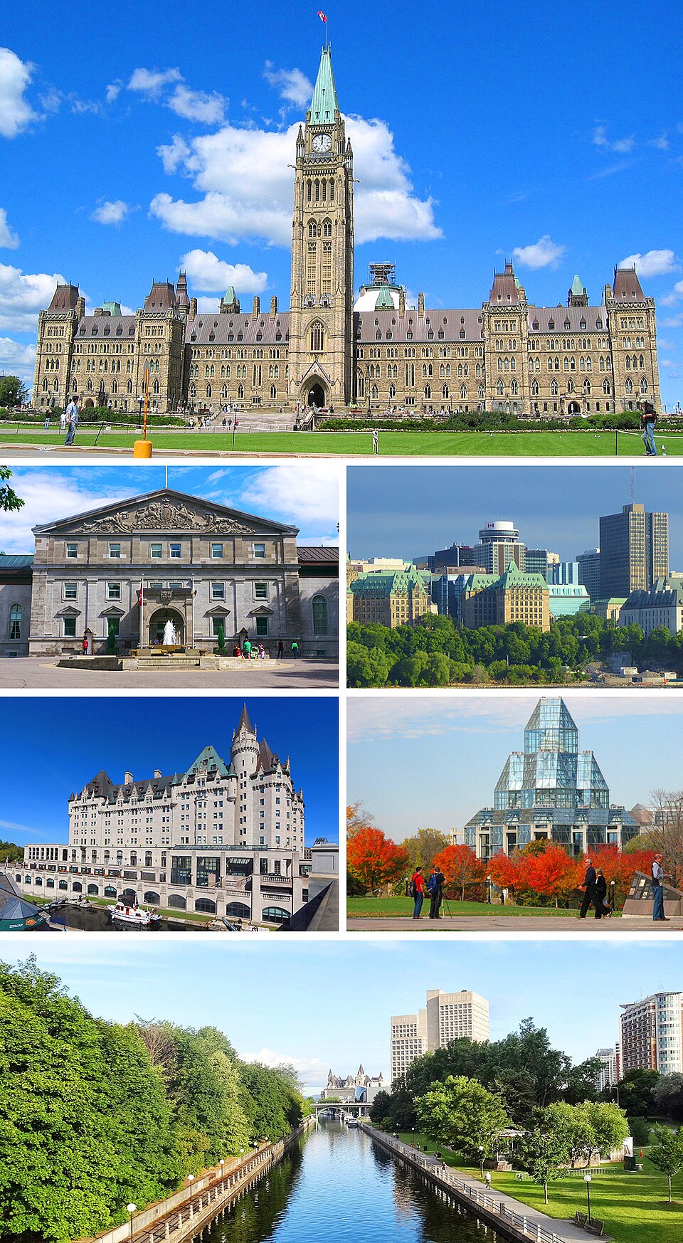
Ottawa
CanadaPhoto: Allice Hunter · CC BY-SA 4.0 · Wikimedia Commons ↗
Ottawa
Canada
Ottawa is the capital city of Canada. It is located in the southeastern portion of the province of Ontario, at the confluence of the Ottawa River and the Rideau River. Ottawa borders Gatineau, Quebec, and forms the core of the Ottawa–Gatineau census metropolitan area and the National Capital Region.
Excerpt from Wikipedia, CC BY-SA 4.0 · Read the article →
- Country
- Canada
- Population
- 1,145,000
- Latitude
- 45.42° N
- Longitude
- 75.7° O
Which way is Ottawa from…
From Paris, Ottawa lies at 298° to the north-west, 5,649 km as the crow flies.
| Paris | 298° north-west | 5,649 km |
|---|---|---|
| London | 294° north-west | 5,361 km |
| New York | 346° north | 541 km |
| Madrid | 301° north-west | 5,690 km |
| Rome | 306° north-west | 6,730 km |
| Montreal | 268° west | 167 km |
| Saint-Denis, Réunion | 313° north-west | 14,819 km |
Bearings as the crow flies (great circle), measured from north. From somewhere else, the bearing changes: that’s the whole game.
Oùcécap’s take
For Ottawa, trust the compass over the map: from London it says 294°, north-west, while a flat map shows 263°, west, because the shortest route crosses Ireland and the North Atlantic before reaching Quebec. From Montreal, it really is due west: 268°, 167 km away. Ottawa also shares its latitude with Zagreb.
298° from Paris
Find Ottawa with your compass
Wherever you are, aim at it with your iPhone: Oùcécap tells you how many degrees off you were.

Scan with your iPhone camera
Which maps?

Find it with your compass
Free on iPhone. Gather your crew tonight and find out who has the best sense of direction.
Scan with your iPhone camera