
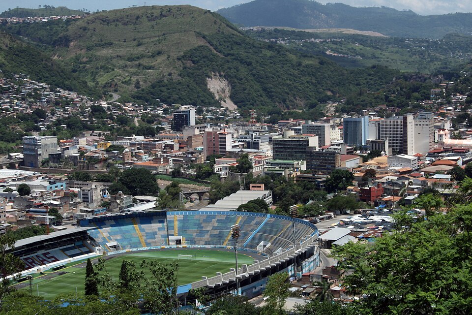
Tegucigalpa
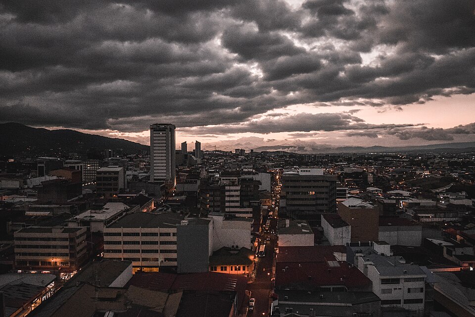
HondurasPhoto: Luis Alfredo Romero · CC BY-SA 4.0 · Wikimedia Commons ↗
Tegucigalpa
Honduras
Tegucigalpa —formally Tegucigalpa, Municipality of the Central District, and colloquially referred to as Tegus, Teguz or Cerrocigalpa —is the capital and largest city of Honduras along with its sister city, Comayagüela.
Excerpt from Wikipedia, CC BY-SA 4.0 · Read the article →
- Country
- Honduras
- Population
- 946,000
- Latitude
- 14.1° N
- Longitude
- 87.22° O
Which way is Tegucigalpa from…
From Paris, Tegucigalpa lies at 279° to the west, 8,801 km as the crow flies.
| Paris | 279° west | 8,801 km |
|---|---|---|
| London | 277° west | 8,586 km |
| New York | 207° south-west | 3,225 km |
| Madrid | 277° west | 8,454 km |
| Rome | 287° west | 9,747 km |
| Montreal | 205° south-west | 3,720 km |
| Saint-Denis, Réunion | 265° west | 15,994 km |
Bearings as the crow flies (great circle), measured from north. From somewhere else, the bearing changes: that’s the whole game.
Oùcécap’s take
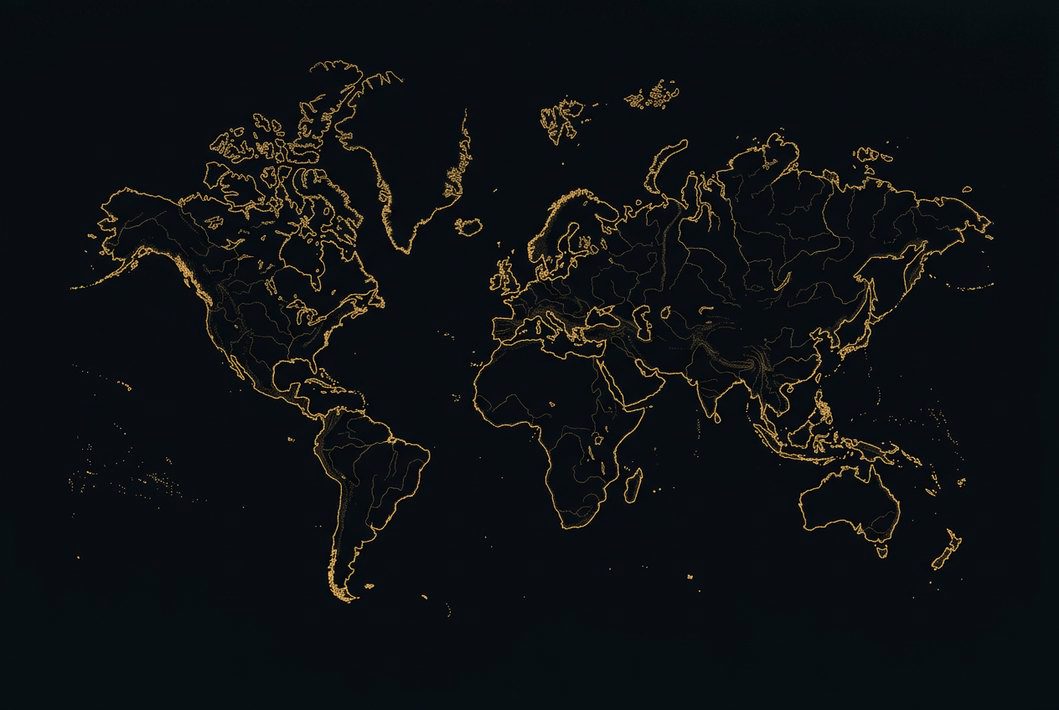
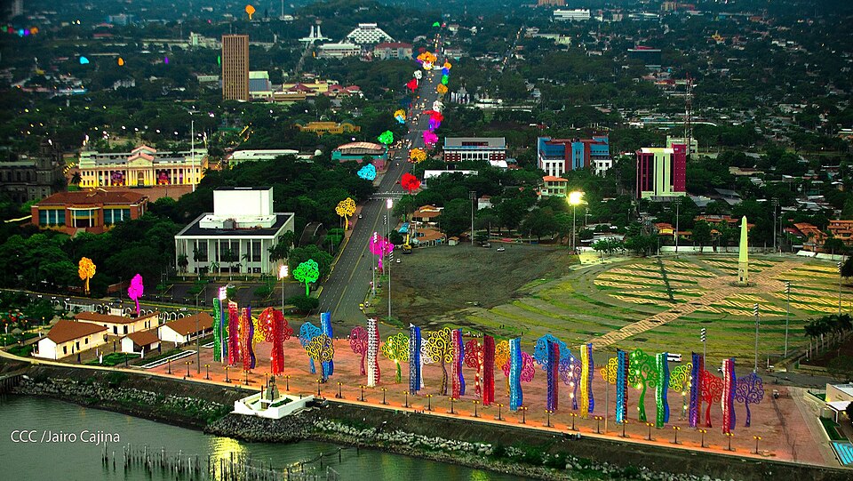
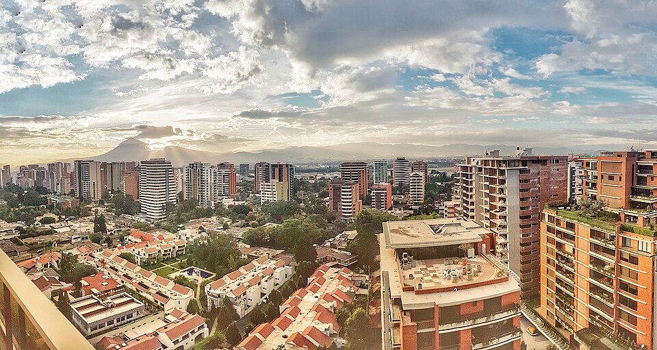
Honduras’s capital, Tegucigalpa, sits between two neighbours: San Salvador 219 km to the west, Managua 240 km to the south-east. From London, aim west, at 277°, 8,586 km away, much further north than the flat map’s 242°, south-west. From New York it is south-west, at 207°. A distant landmark: Manila lies on the same latitude.
279° from Paris
Find Tegucigalpa with your compass
Wherever you are, aim at it with your iPhone: Oùcécap tells you how many degrees off you were.

Scan with your iPhone camera
Which maps?

Find it with your compass
Free on iPhone. Gather your crew tonight and find out who has the best sense of direction.
Scan with your iPhone camera