
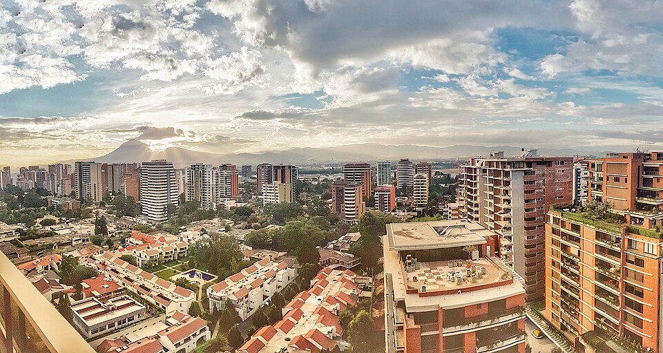
Guatemala City
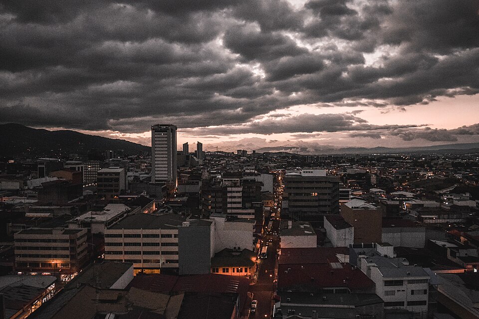
GuatemalaPhoto: BladimiroAlvarado · CC BY-SA 4.0 · Wikimedia Commons ↗
Guatemala City
Guatemala
Guatemala City, also known colloquially by the nickname Guate, is the national capital and largest city of the Republic of Guatemala. It serves as the municipal capital of the surrounding Guatemala Department. Its metropolitan area is also the largest in Central America. The city is located in a mountain valley called Valle de la Ermita in the south-central part of the country.
Excerpt from Wikipedia, CC BY-SA 4.0 · Read the article →
- Country
- Guatemala
- Population
- 1,024,000
- Latitude
- 14.62° N
- Longitude
- 90.53° O
Which way is Guatemala City from…
From Paris, Guatemala City lies at 282° to the west, 8,996 km as the crow flies.
| Paris | 282° west | 8,996 km |
|---|---|---|
| London | 280° west | 8,768 km |
| New York | 214° south-west | 3,313 km |
| Madrid | 279° west | 8,696 km |
| Rome | 289° west | 9,967 km |
| Montreal | 210° south-west | 3,784 km |
| Saint-Denis, Réunion | 265° west | 16,353 km |
Bearings as the crow flies (great circle), measured from north. From somewhere else, the bearing changes: that’s the whole game.
Oùcécap’s take
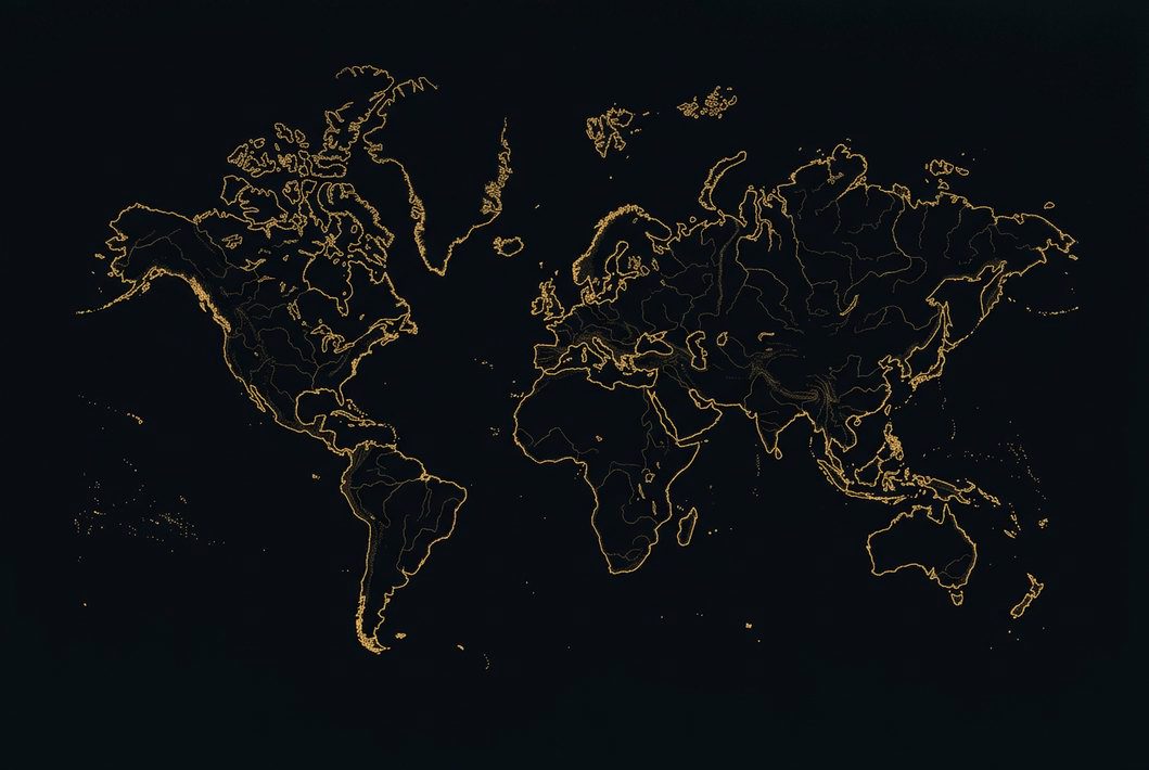
Guatemala City, seen from London, lies west, at 280°, even slightly north of west. Yet a flat map would put it south-west, at 243°: the 8,768 km shortest route first heads across the North Atlantic, then passes between Florida and the Bahamas. A landmark: it shares its latitude with Manila and Dakar. From New York, no trap: 214°, south-west.
282° from Paris
Find Guatemala City with your compass
Wherever you are, aim at it with your iPhone: Oùcécap tells you how many degrees off you were.

Scan with your iPhone camera
Which maps?

Find it with your compass
Free on iPhone. Gather your crew tonight and find out who has the best sense of direction.
Scan with your iPhone camera