
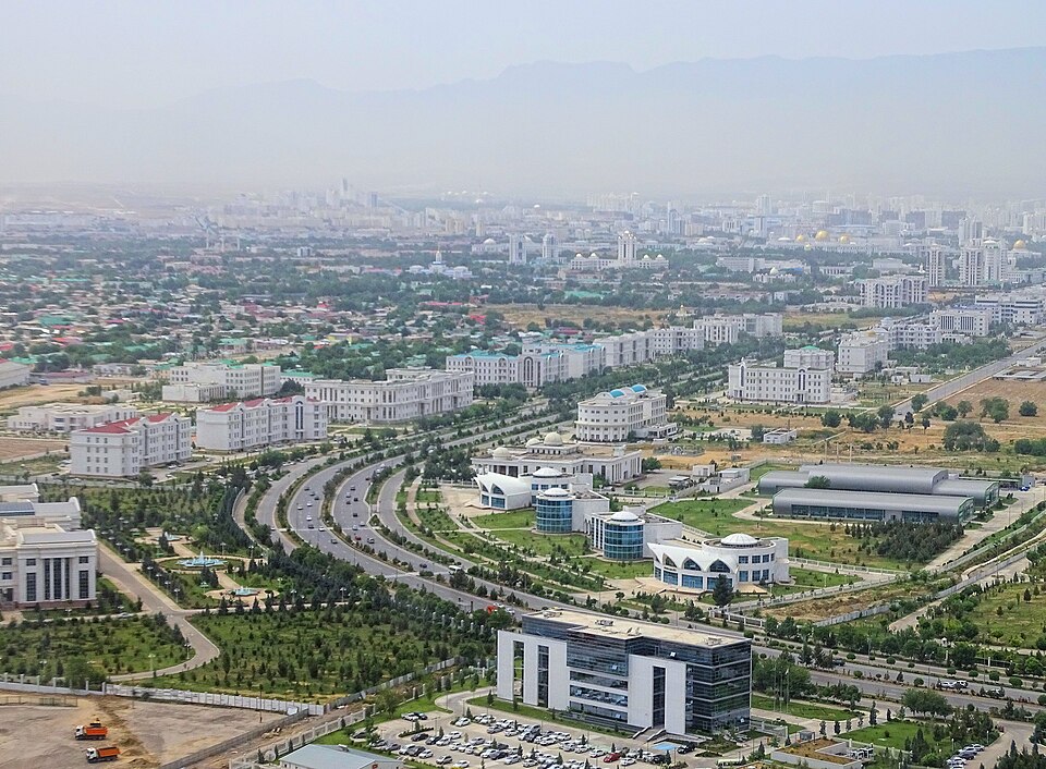
Ashgabat
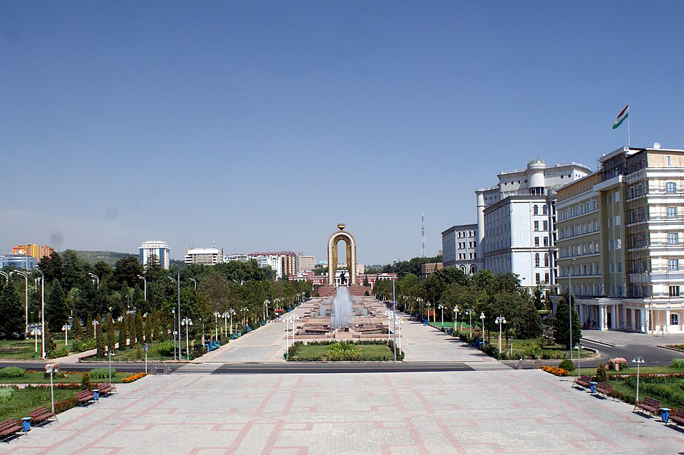
TurkmenistanPhoto: Bjørn Christian Tørrissen · CC BY-SA 4.0 · Wikimedia Commons ↗
Ashgabat
Turkmenistan
Ashgabat is the capital and largest city of Turkmenistan. It lies between the Karakum Desert and the Köpetdag mountain range in Central Asia, approximately 50 km away from the Iran-Turkmenistan border. The city has a population of 1,030,063.
Excerpt from Wikipedia, CC BY-SA 4.0 · Read the article →
- Country
- Turkmenistan
- Population
- 727,700
- Latitude
- 37.95° N
- Longitude
- 58.38° E
Which way is Ashgabat from…
From Paris, Ashgabat lies at 84° to the east, 4,576 km as the crow flies.
| Paris | 84° east | 4,576 km |
|---|---|---|
| London | 85° east | 4,722 km |
| New York | 36° north-east | 10,019 km |
| Madrid | 72° east | 5,246 km |
| Rome | 81° east | 3,891 km |
| Montreal | 36° north-east | 9,566 km |
| Saint-Denis, Réunion | 3° north | 6,549 km |
Bearings as the crow flies (great circle), measured from north. From somewhere else, the bearing changes: that’s the whole game.
Oùcécap’s take
Ashgabat, the capital of Turkmenistan, shares its latitude with Athens. From London, a flat map would have you aim at 108°, a little south of east; the compass says 85°, due east, 4,722 km away. From New York, the gap widens: 92° on the map, 36° on the compass, north-east. From Saint-Denis on Réunion, by contrast, it is simple: due north, at 3°.
84° from Paris
Find Ashgabat with your compass
Wherever you are, aim at it with your iPhone: Oùcécap tells you how many degrees off you were.

Scan with your iPhone camera
Which maps?

Find it with your compass
Free on iPhone. Gather your crew tonight and find out who has the best sense of direction.
Scan with your iPhone camera