
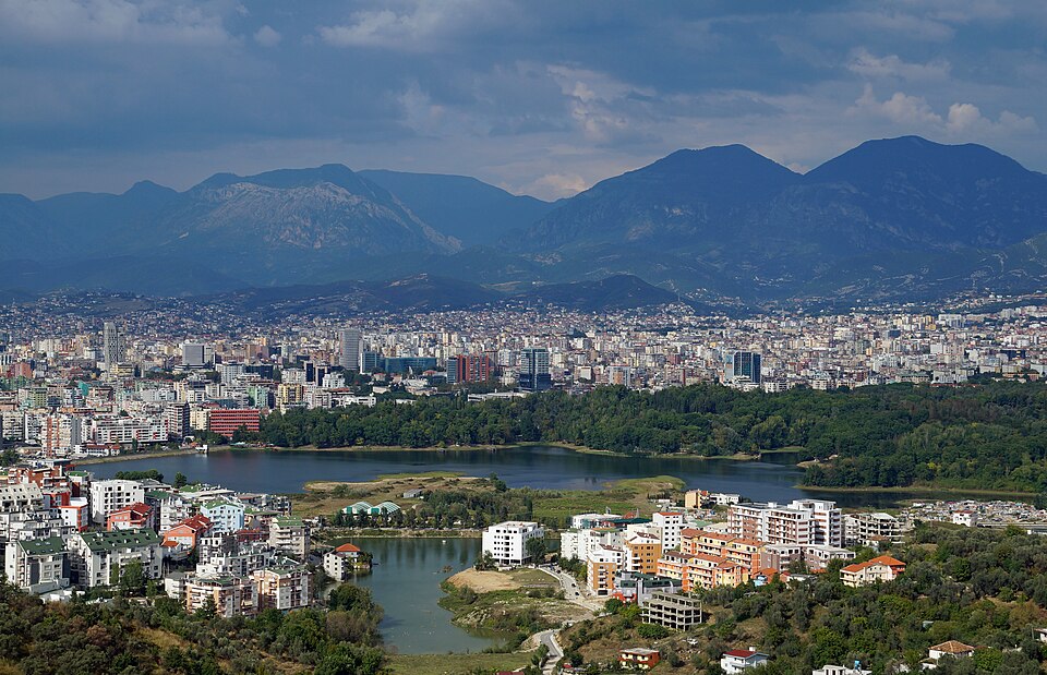
Tirana
AlbaniaPhoto: Albinfo · CC BY-SA 3.0 · Wikimedia Commons ↗
Tirana
Albania
Tirana is the capital and largest city of Albania. It is located in the centre of the country, enclosed by mountains and hills, with Dajti rising to the east and a slight valley to the northwest overlooking the Adriatic Sea in the distance. It is among the wettest and sunniest cities in Europe, with 2,544 hours of sun per year.
Excerpt from Wikipedia, CC BY-SA 4.0 · Read the article →
- Country
- Albania
- Population
- 895,350
- Latitude
- 41.33° N
- Longitude
- 19.82° E
Which way is Tirana from…
From Paris, Tirana lies at 115° to the south-east, 1,601 km as the crow flies.
| Paris | 115° south-east | 1,601 km |
|---|---|---|
| London | 119° south-east | 1,892 km |
| New York | 55° north-east | 7,436 km |
| Madrid | 79° east | 1,974 km |
| Rome | 94° east | 612 km |
| Montreal | 57° north-east | 7,105 km |
| Saint-Denis, Réunion | 332° north-west | 7,832 km |
Bearings as the crow flies (great circle), measured from north. From somewhere else, the bearing changes: that’s the whole game.
Oùcécap’s take
To find Tirana, start from Rome and aim due east: 94°, only 612 km away. From London, it is south-east, at 119°, 1,892 km away. From New York, a flat map would say due east (90°), but the compass says 55°, north-east. A landmark: Budapest is due north of the Albanian capital, and Tashkent, far to the east, shares its latitude.
115° from Paris
Find Tirana with your compass
Wherever you are, aim at it with your iPhone: Oùcécap tells you how many degrees off you were.

Scan with your iPhone camera
Which maps?

Find it with your compass
Free on iPhone. Gather your crew tonight and find out who has the best sense of direction.
Scan with your iPhone camera