
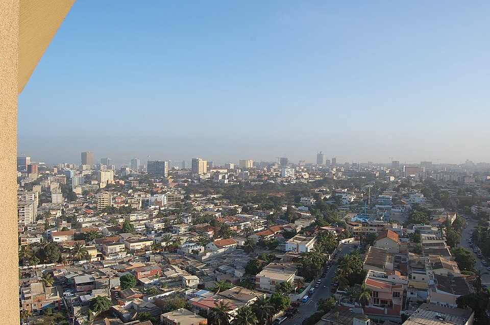
Luanda
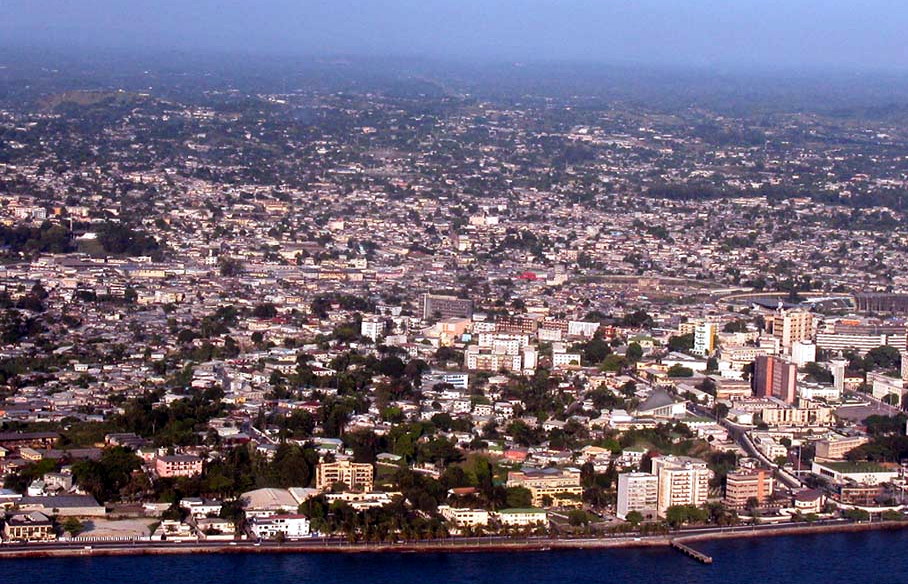
AngolaPhoto: Lars Rohwer · CC BY-SA 3.0 · Wikimedia Commons ↗
Luanda
Angola
Luanda is the capital and largest city of Angola. It is Angola's primary port, and its major industrial, cultural and urban centre. Located on Angola's northern Atlantic coast, Luanda is Angola's administrative centre, its chief seaport, and also the capital of the Luanda Province. Luanda and its metropolitan area is the most populous Portuguese-speaking national capital in the world and the most populous Lusophone city outside Brazil.
Excerpt from Wikipedia, CC BY-SA 4.0 · Read the article →
- Country
- Angola
- Population
- 5,172,900
- Latitude
- 8.84° S
- Longitude
- 13.23° E
Which way is Luanda from…
From Paris, Luanda lies at 167° to the south, 6,503 km as the crow flies.
| Paris | 167° south | 6,503 km |
|---|---|---|
| London | 165° south | 6,831 km |
| New York | 98° east | 10,416 km |
| Madrid | 158° south | 5,746 km |
| Rome | 179° south | 5,642 km |
| Montreal | 98° east | 10,460 km |
| Saint-Denis, Réunion | 280° west | 4,714 km |
Bearings as the crow flies (great circle), measured from north. From somewhere else, the bearing changes: that’s the whole game.
Oùcécap’s take
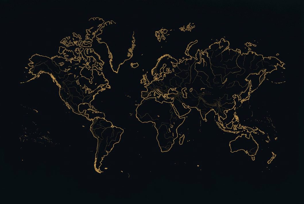
Think of Berlin to find Luanda: it lies due south of the German capital, on almost the same meridian. From London, aim south, at 165°, 6,831 km away. From Montreal, a flat map would mislead you, showing 125°, south-east, while the compass says 98°, east. Luanda also shares its latitude with Port Moresby.
167° from Paris
Find Luanda with your compass
Wherever you are, aim at it with your iPhone: Oùcécap tells you how many degrees off you were.

Scan with your iPhone camera
Which maps?

Find it with your compass
Free on iPhone. Gather your crew tonight and find out who has the best sense of direction.
Scan with your iPhone camera