

Entre-Deux
Réunion · CommunePhoto: Dunog · Public domain · Wikimedia Commons ↗
Entre-Deux
Réunion · Commune
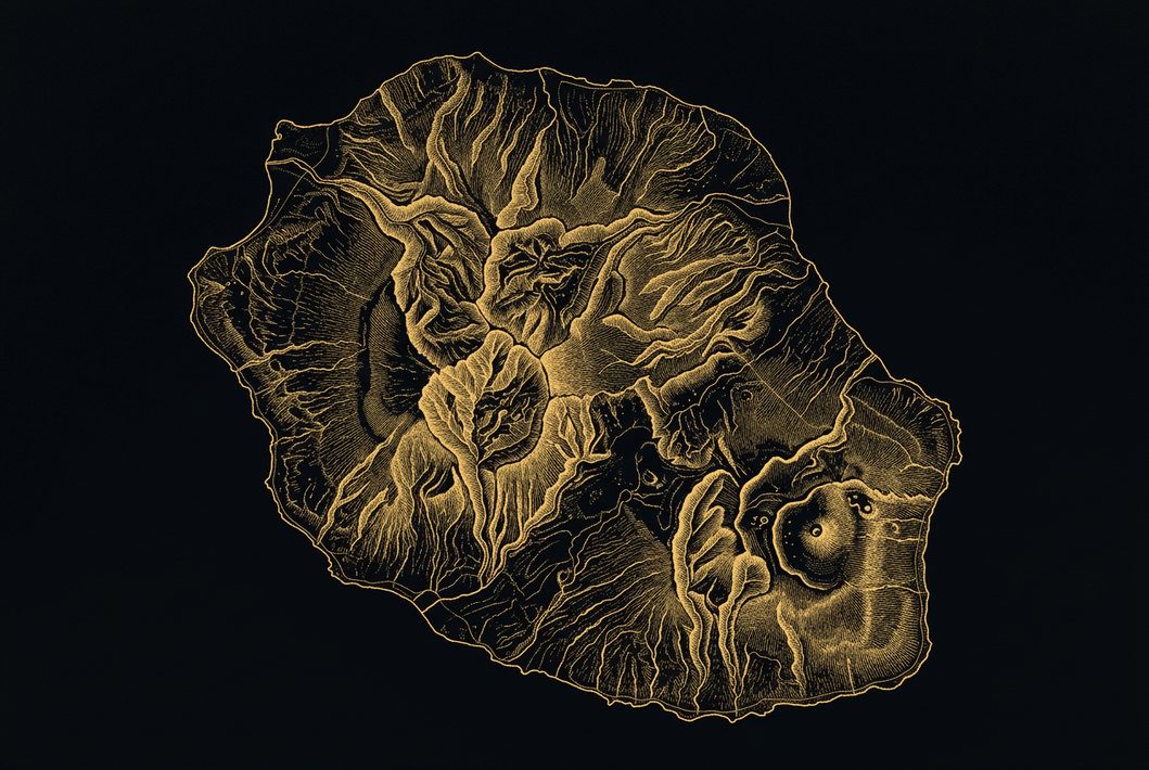
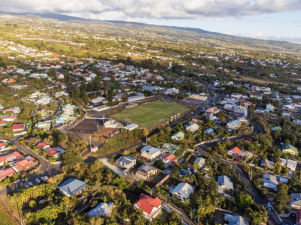
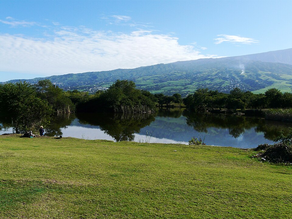
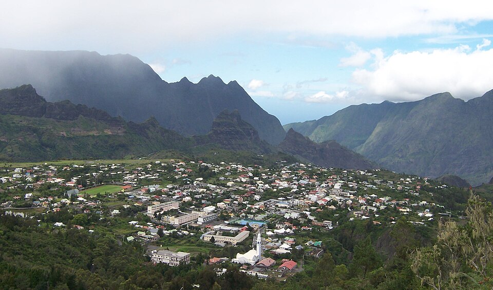
Entre-Deux is a commune on the French island and department of Réunion. The commune gets its name from the fact that it is situated between the two main tributaries of the Saint-Étienne River: the Bras de Cilaos to the west and the Bras de la Plaine to the east. Its location also explains the commune's motto: Deux bras, un cœur. Entre-Deux is bordered by the communes of Cilaos, Saint-Benoît, Saint-Louis, Saint-Pierre and Le Tampon.
Excerpt from Wikipedia, CC BY-SA 4.0 · Read the article →
- Country
- Réunion · Commune
- Population
- 7,176
- Latitude
- 21.25° S
- Longitude
- 55.47° E
Which way is Entre-Deux from…
From Paris, Entre-Deux lies at 132° to the south-east, 9,401 km as the crow flies.
| Paris | 132° south-east | 9,401 km |
|---|---|---|
| London | 130° south-east | 9,726 km |
| New York | 81° east | 14,820 km |
| Madrid | 126° south-east | 9,186 km |
| Rome | 139° south-east | 8,296 km |
| Montreal | 77° east | 14,685 km |
| Saint-Denis, Réunion | 177° south | 41 km |
Bearings as the crow flies (great circle), measured from north. From somewhere else, the bearing changes: that’s the whole game.
Oùcécap’s take
On the north-south axis that crosses the island from Saint-Denis to Saint-Pierre, Entre-Deux slots in between Cilaos and Saint-Pierre. From Saint-Pierre, aim due north (355°), 10 km away; from Cilaos, due south (181°), 12 km away; from Saint-Denis, due south again (177°), 41 km away. From Le Tampon, its neighbour, turn north-west, to 302°, 5.8 km away.
132° from Paris
Find Entre-Deux with your compass
Wherever you are, aim at it with your iPhone: Oùcécap tells you how many degrees off you were.

Scan with your iPhone camera
Which maps?


Find it with your compass
Free on iPhone. Gather your crew tonight and find out who has the best sense of direction.
Scan with your iPhone camera