
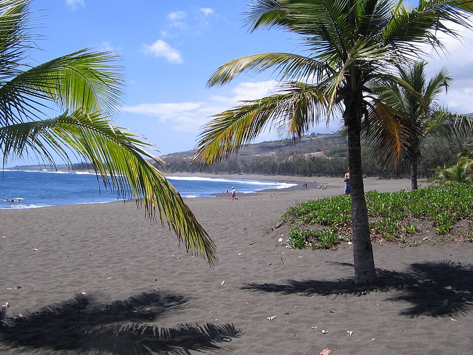
L'Étang-Salé
Réunion · CommunePhoto: Tonton Bernardo · CC BY-SA 3.0 · Wikimedia Commons ↗
L'Étang-Salé
Réunion · Commune
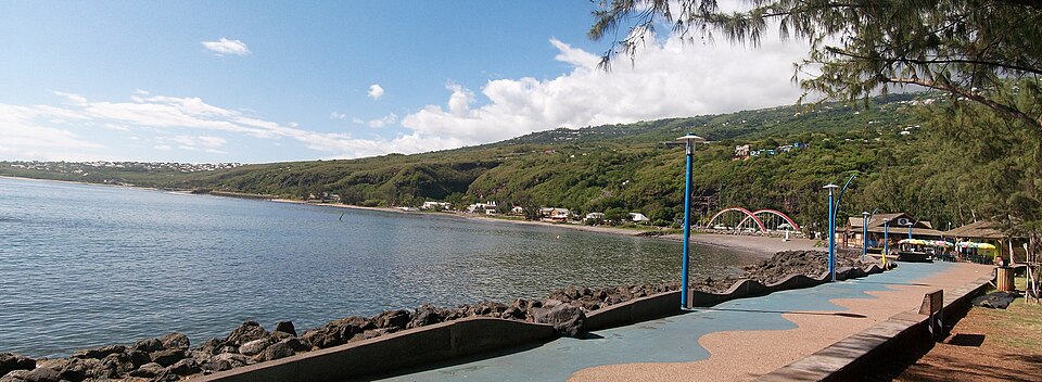
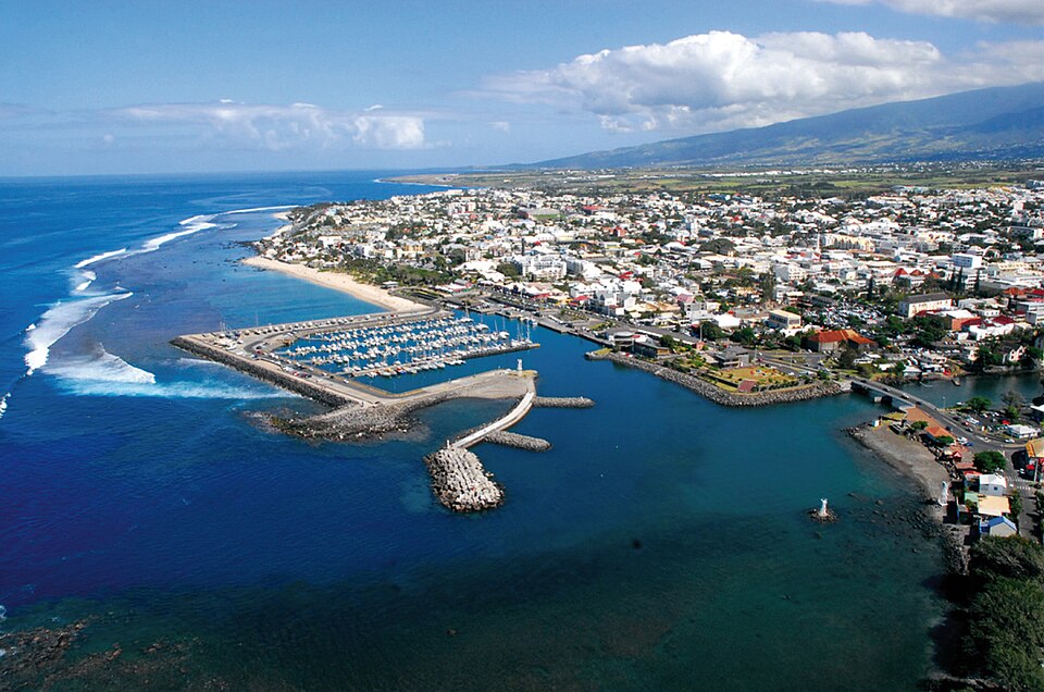
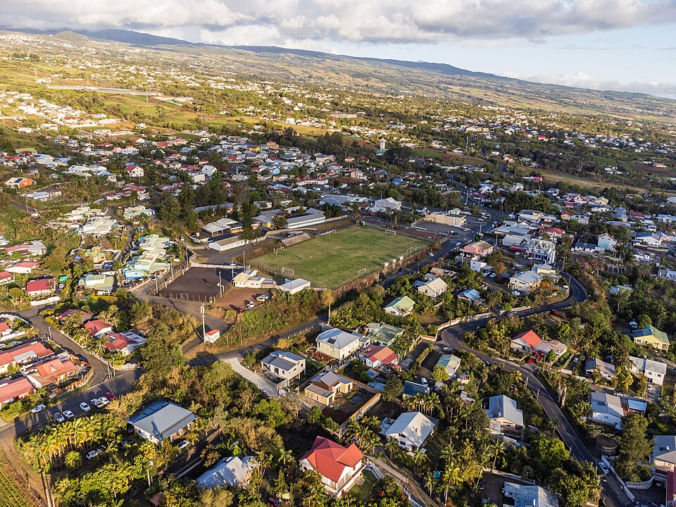
L'Étang-Salé is a commune in southwestern Réunion, a department in the Indian Ocean. It is bordered by the communes of Les Avirons and Saint-Louis. Within the commune is the Étang-Salé forest. There is also a beach with black sand in the commune that is a popular surfing spot.
Excerpt from Wikipedia, CC BY-SA 4.0 · Read the article →
- Country
- Réunion · Commune
- Population
- 14,464
- Latitude
- 21.27° S
- Longitude
- 55.37° E
Which way is L'Étang-Salé from…
From Paris, L'Étang-Salé lies at 132° to the south-east, 9,397 km as the crow flies.
| Paris | 132° south-east | 9,397 km |
|---|---|---|
| London | 130° south-east | 9,723 km |
| New York | 81° east | 14,812 km |
| Madrid | 126° south-east | 9,180 km |
| Rome | 139° south-east | 8,292 km |
| Montreal | 77° east | 14,678 km |
| Saint-Denis, Réunion | 191° south | 44 km |
Bearings as the crow flies (great circle), measured from north. From somewhere else, the bearing changes: that’s the whole game.
Oùcécap’s take
Together with Les Avirons, L’Étang-Salé makes the closest pair on the island: their centres are only 4.2 km apart. From Les Avirons, aim south-east, at 132°. From Le Tampon, it is due west, at 274°, 16 km away. And from Saint-Denis, far to the north, aim south, at 191°, slightly right of due south, 44 km away.
132° from Paris
Find L'Étang-Salé with your compass
Wherever you are, aim at it with your iPhone: Oùcécap tells you how many degrees off you were.

Scan with your iPhone camera
Which maps?


Find it with your compass
Free on iPhone. Gather your crew tonight and find out who has the best sense of direction.
Scan with your iPhone camera