
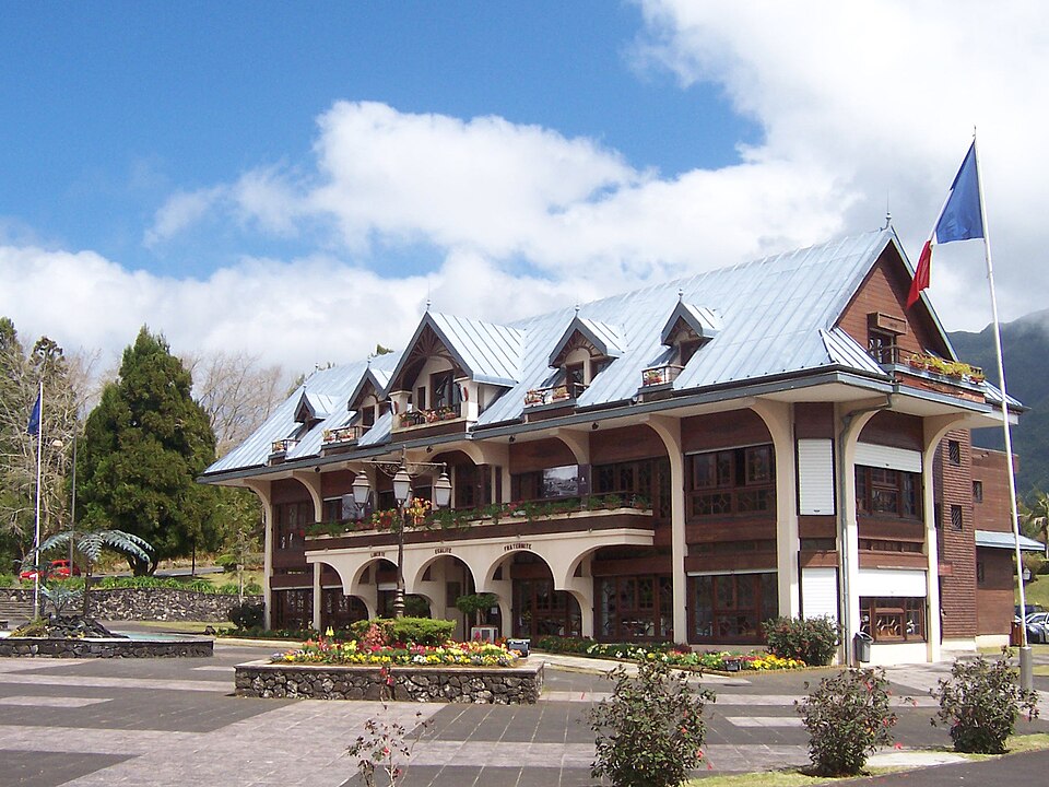
La Plaine-des-Palmistes
Réunion · CommunePhoto: B.navez · CC BY-SA 3.0 · Wikimedia Commons ↗
La Plaine-des-Palmistes
Réunion · Commune
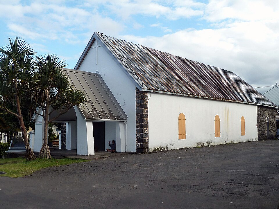
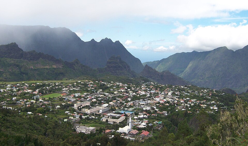
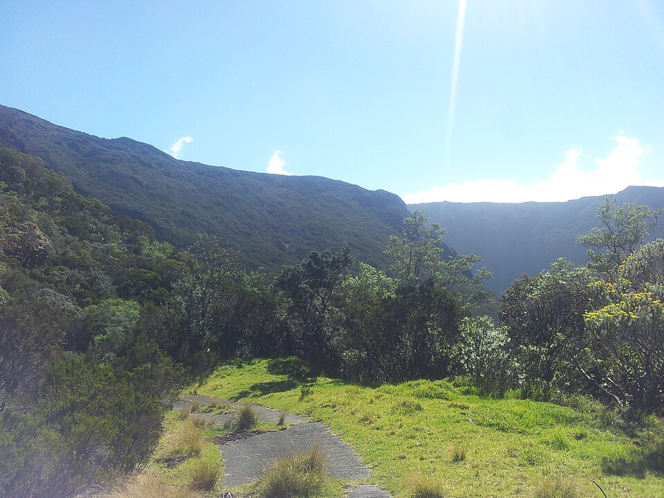
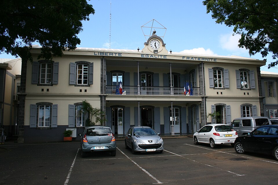
La Plaine-des-Palmistes is a commune in the French overseas department of Réunion. It lies in the eastern part of the island, on the RN3 road, south west of Saint-Benoît and northeast of the Col de Bellevue. It is known for its nearby forest and for the Biberon Falls. It lies close to the slopes of the Piton des Songes.
Excerpt from Wikipedia, CC BY-SA 4.0 · Read the article →
- Country
- Réunion · Commune
- Population
- 6,936
- Latitude
- 21.13° S
- Longitude
- 55.63° E
Which way is La Plaine-des-Palmistes from…
From Paris, La Plaine-des-Palmistes lies at 131° to the south-east, 9,399 km as the crow flies.
| Paris | 131° south-east | 9,399 km |
|---|---|---|
| London | 129° south-east | 9,724 km |
| New York | 81° east | 14,825 km |
| Madrid | 126° south-east | 9,187 km |
| Rome | 139° south-east | 8,293 km |
| Montreal | 77° east | 14,688 km |
| Saint-Denis, Réunion | 147° south-east | 34 km |
Bearings as the crow flies (great circle), measured from north. From somewhere else, the bearing changes: that’s the whole game.
Oùcécap’s take
Face east from Cilaos and La Plaine-des-Palmistes is straight ahead: 89°, due east, 16 km away. Keep going along the same line and you reach Sainte-Rose, on the coast, 34 km from Cilaos. From Saint-Joseph, aim due north (2°), 27 km away. And from Saint-Benoît, its nearest neighbour, turn south-west, to 220°, 14 km away.
131° from Paris
Find La Plaine-des-Palmistes with your compass
Wherever you are, aim at it with your iPhone: Oùcécap tells you how many degrees off you were.

Scan with your iPhone camera
Which maps?

Find it with your compass
Free on iPhone. Gather your crew tonight and find out who has the best sense of direction.
Scan with your iPhone camera